The site is located on the northern side of Kingsclere village, and located approximately 600m from its centre with a range of local amenities in proximity, including churches, a community centre, library, restaurants and convenience stores.
It is located immediately to the south of the A339, the main road connecting Newbury with Basingstoke. The site lies in a predominantly residential area with the rear gardens of properties in Fawconer Road abutting its southern boundary.
The site is broadly triangular in shape and extends to 0.65ha. It is relatively level comprising of grassland and mature vegetation, which provide well-defined boundaries. There is an existing access point to the site in the south-east corner from Ashford Hill Road.

Above: Approximate site location (Image courtesy of Google Maps)
There are a number of trees on the site that are the subject of a Tree Preservation Order (TPO), including a belt of trees to the north of the site. The site is not subject to any other specific environmental designations and the online Environment Agency (EA) flood map for planning indicates that the site is within Flood Zone 1 (where there is the lowest risk of flooding). There are no Public Rights of Way through the site itself and the site is not located in the Kingsclere Conservation Area.
Planning History
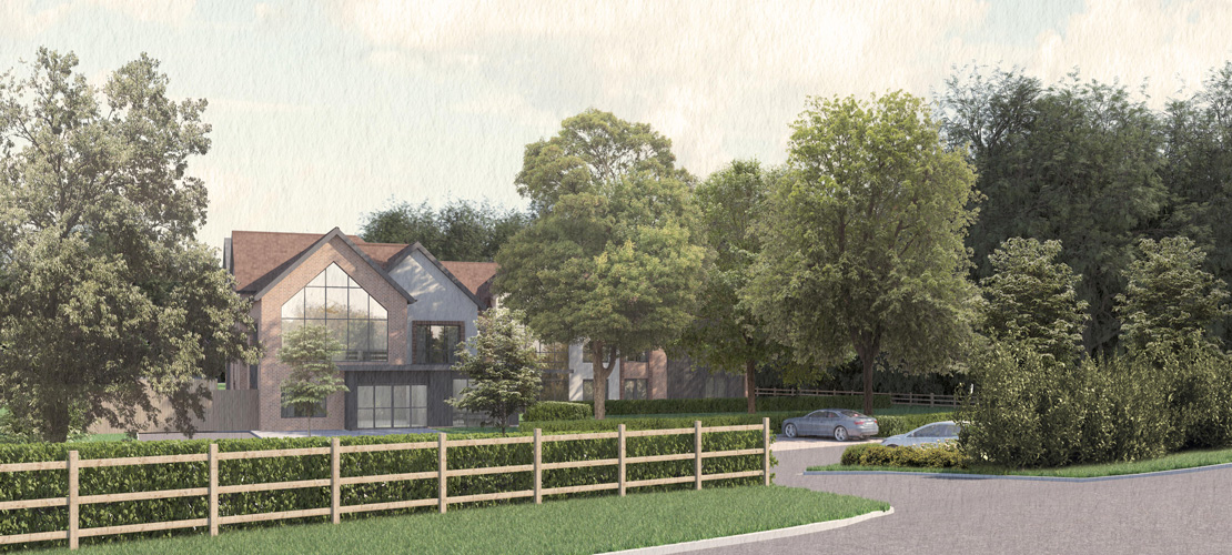
You may recall that David Wilson Homes received planning permission at the site in January 2021 (ref: 19/02370/OUT) for residential development of up to 13 dwellings.
This application was in outline, which means it confirmed that the principle of developing the site for residential was acceptable including the access into the site. All other matters, including the appearance, landscaping, layout and scale of the dwellings were to be determined in a future application, known as a reserved matters permission.
Following the approval of the outline permission, David Wilson will no longer be progressing the site for that use.

Above: Illustrative Masterplan of outline scheme for up to 13 dwellings at the site